Home Place Culture Travel Nearby
Top view of Hayuliang town and the Lohit river valley
Anjaw District - Arunachal Pradesh

Hayuliang, the place of respite above the rivers

A compact mountain town on the Lohit, Hayuliang sits between road journeys, Mishmi cultural worlds, river confluences, and the eastern Arunachal route toward Walong and Dong.

750 mApprox. elevation
100 kmFrom Tezu
792104PIN code
Lohit + DalaiRiver confluence view
Tawrah & KamanMishmi homeland
Khupa twin areaLinked urban stretch
Tezu-HayuliangEastern circuit gateway
The town

A river-bend settlement built around pause, passage, and service

The official Anjaw tourism page describes Hayuliang as the ADC headquarters, a place whose name is said to mean "place of respite" in the local dialect.

Hayuliang is positioned where the Lohit valley begins to feel more enclosed and intimate. The town is known for its view toward the meeting of the Lohit and Dalai rivers, and for its role as a practical halt on the road from Tinsukia and Tezu into the upper Anjaw landscape.

Khupa forms a twin semi-urban stretch with Hayuliang. Between the two, the district notes the major health establishment at Swamy Camp, announced as Kalikho Pul Memorial Hospital in memory of the former Chief Minister of Arunachal Pradesh.
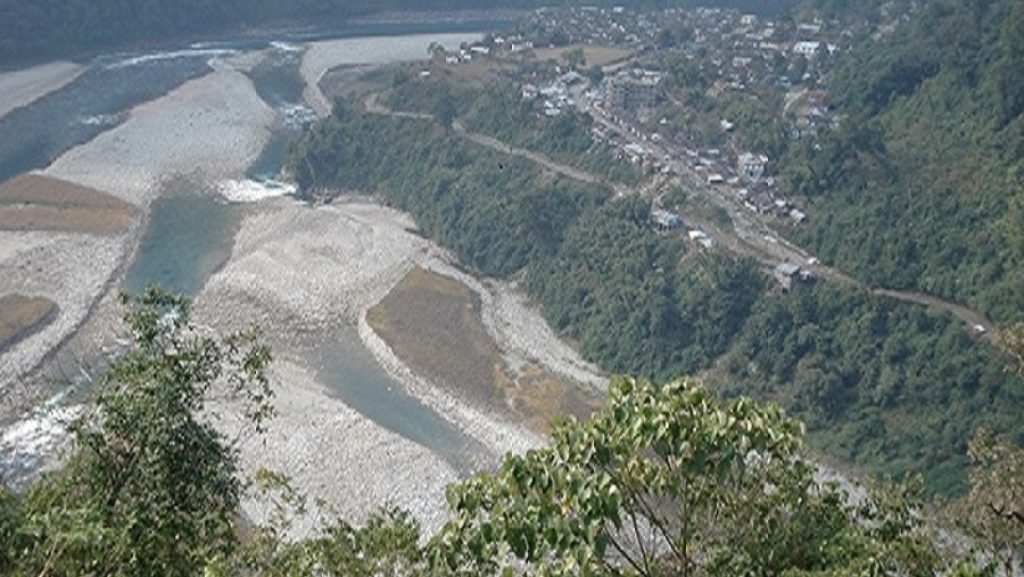
Hayuliang settlement seen from above
District Administration Anjaw
People & identity

Hayuliang belongs to Mishmi cultural geography, not just a road map

The Anjaw district profile introduces the district as the land of Tawrah Mishmi, Kaman Mishmi, and Meyor communities. Hayuliang is especially associated with Tawrah, also called Digaru Mishmi, and Kaman, also called Miju Mishmi.

Daily culture is local and relational

Language, food, clan memory, ritual, field work, forest routes, and hospitality shape how visitors should move here. A good Hayuliang visit starts by asking, listening, and letting hosts define what can be photographed or explained.

A town between hills and public services

Unlike a resort destination, Hayuliang is a working ADC headquarters with offices, lodges, schools, health facilities, markets, and river-facing neighborhoods that serve people from the wider subdivision.

8 circlesAnjaw currently lists Hayuliang, Goiliang, Manchal, Chaglagam, Walong, Hawai, Kibithoo, and Metengliang.
4 blocksHayuliang-Goiliang is one of the district's community development blocks.
6,190 sq kmAnjaw's district area, according to the official district homepage.
21,167District population figure displayed on the official Anjaw site.
Travel reality

Plan Hayuliang as a slow eastern Arunachal stop, not a quick detour

The official route summary is simple: fly to Mohanbari in Dibrugarh, arrive by train at New Tinsukia, then continue by road via Tezu. The actual journey still depends on roads, weather, permits, and local transport.

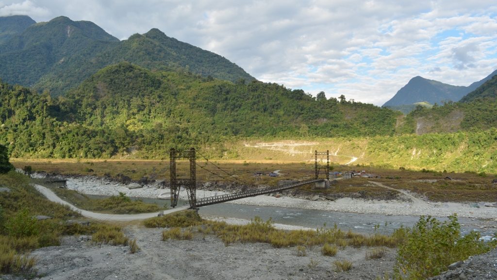
Road and river landmark at Tidding on the approach to Anjaw
Approach

Tinsukia - Tezu - Hayuliang

The Anjaw tourism listing gives the road approach as Tinsukia via Tezu. Build a buffer day if continuing deeper toward Walong, Kibithoo, Dong, or Chaglagam.

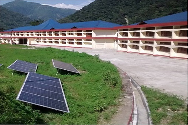
District hospital near Hayuliang and Khupa
Services

Khupa and Swamy Camp

The Hayuliang-Khupa stretch holds important civic infrastructure, including the hospital site noted by the district administration.

Hayuliang and the river confluence from above
Stay

Lodges and simple halts

The official Hayuliang page lists Ampani Lodge at Khupa and lodges in Hayuliang. Confirm availability locally before leaving Tezu.

Travel essentials

By air

Mohanbari Airport, Dibrugarh, is the official air approach listed for Hayuliang.

By rail

Use New Tinsukia Junction, then continue by road through Tezu toward Anjaw.

By road

The listed route is Tinsukia via Tezu. Start early and verify road status during monsoon months.

Permits

Arunachal Pradesh requires Inner Line Permit rules for Indian visitors and separate guidance for foreign nationals.

Carry cash, rain protection, medicines, a power bank, warm layers, and enough time to absorb delays. Remote travel works best when the plan has room to change.

Season sketch

Hayuliang is lower than the high passes farther east, but the Lohit valley is still affected by rain, landslides, and road work. Treat October to April as the more comfortable planning window and June to September as higher risk for road disruption.

JanCoolClearer days
FebDryGood travel
MarSpringGreen hills
AprWarmPre-rain
MayHumidShowers build
JunWetRoad checks
JulMonsoonDelay risk
AugMonsoonHigh rain
SepUnsettledRain easing
OctClearerStrong window
NovCoolGood views
DecCoolDryer travel
Nearby Anjaw

Use Hayuliang as a base for the wider Lohit-Anjaw landscape

The state tourism perspective plan identified Hayuliang for eco-tourism because of hills rich in flora and fauna, with trekking, hiking, and bird watching potential, linked with Tezu, Parshuram Kund, Walong, and Dong.

Tidding river and bridge in Anjaw district
First landmark

Tidding

The district describes Tidding as a major landmark on entry into Anjaw, with clear aquamarine water and undulating slopes. Nearest accommodation is listed at Hayuliang.

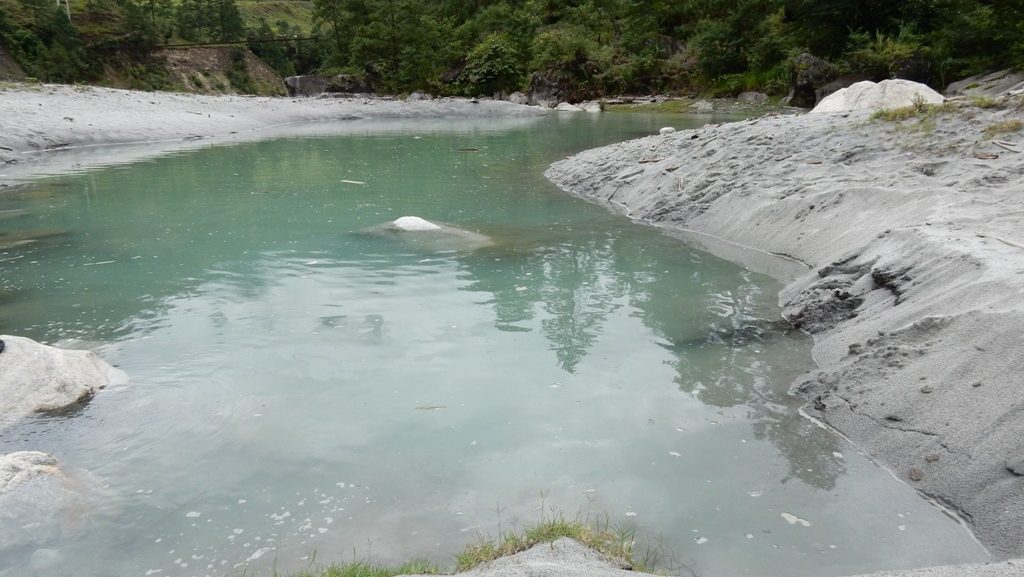
Tilam hot spring near the Lohit river
River heat

Tilam Hot Spring

A small hot spring along the Lohit, surrounded by warm sand dunes in winter and thin warm streamlets in summer.

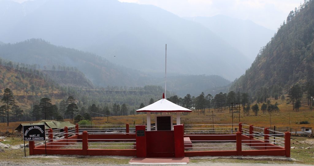
Namti Valley in Anjaw district
Memory landscape

Namti Valley

Namti Maidan lies near Walong on the road to Kibithoo, remembered for the 1962 battle and its quiet valley setting.

Sources & Image Credits

Images are downloaded into assets/images and linked locally. Most factual details and all district images come from official Government of Arunachal Pradesh / Anjaw district pages.